Planned
Interactive Mapping of Service Areas
The Omilayé “Interactive Mapping of Service Areas” project aims to create a digital map that shows, in real time, the areas already served by drinking water, as well as those still awaiting or planned.
Main objective
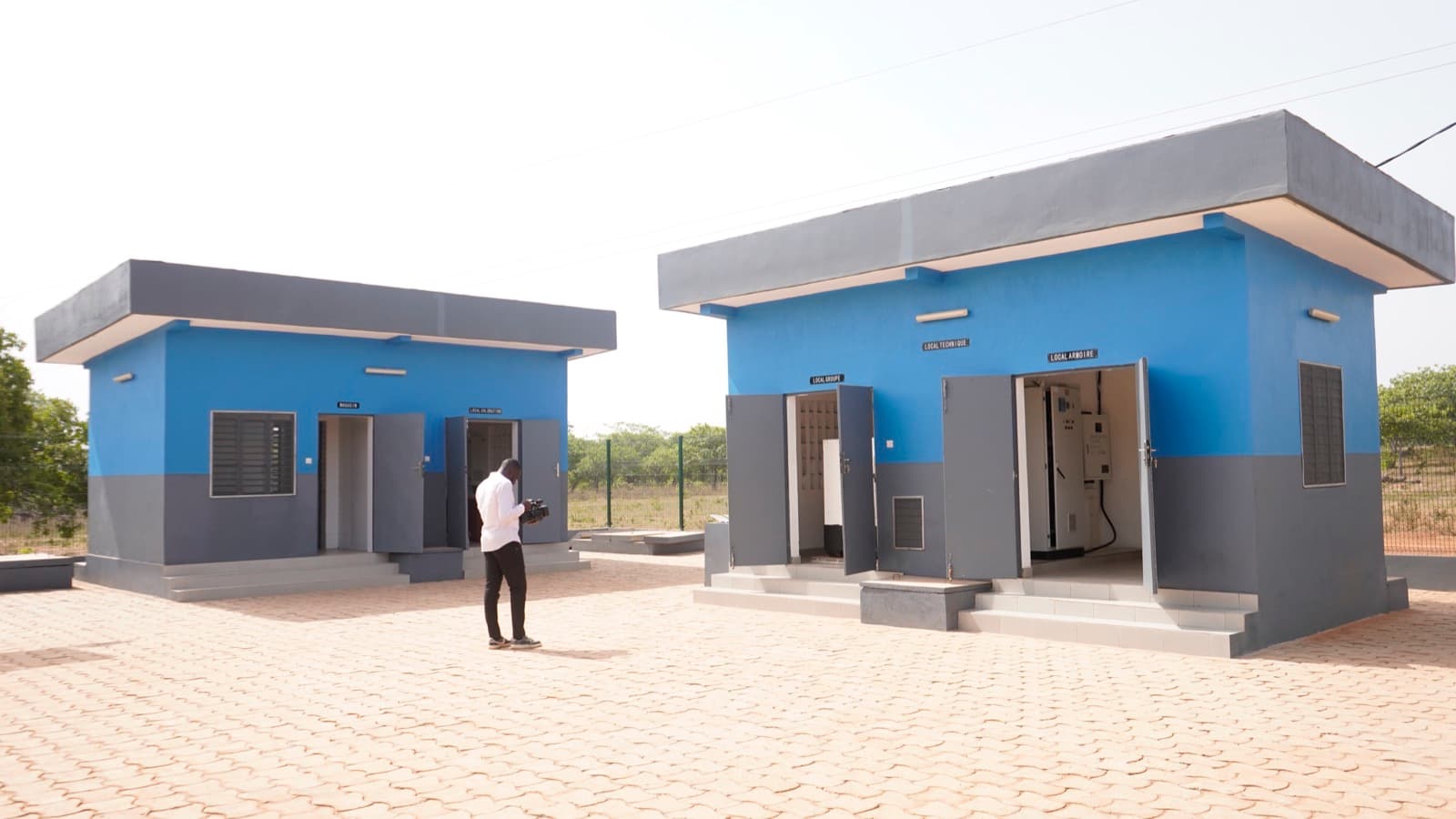
To have a clear geographical view of the networks (villages, neighborhoods, social connections, SAEPmV) to better plan and monitor investments.
To allow decision-makers, technicians, and the public to see who is already served, who is not yet, and where the next works are planned.